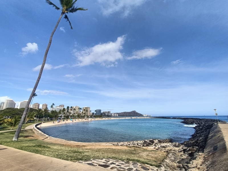
 Hawaii is a group of volcanic islands near the middle of the Pacific Ocean. Hawaii is not part of the Pacific – Ring of Fire – as it is not on the edge of the Pacific (tectonic) Plate. The Hawaiian islands were created as the Pacific Plate moved over a – hot spot – and feature – Mauna Loa – the World’s largest and an ever active volcano. The volcanoes on Oahu, where one finds Honolulu, are deemed to be extinct in some sources, dormant in others. There is certainly a confidence that Diamond Head (above), adjacent to the outskirts of Honolulu, on the island of Oahu, which erupted 150,00 years ago, shall not do so again. Comforting. Visiting such features longer sparks an interest. The retired Geographer is, well, retired. As such, there was no desire to leave Oahu.
Hawaii became the USA‘s fiftieth state in 1959. Prior to this it was but a US territory, a status acquired towards the end of the nineteenth century. The Hector has therefore always asked one question: when the Japanese attacked Pearl Harbor on Oahu in 1941, how did the average American know where it was?
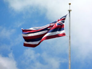
 The flag of Hawaii features red, white and blue stripes with the British – Union Jack – in the corner. The British had an influence in Hawaii but ceded this to the USA, the Hawaiians must still like us.
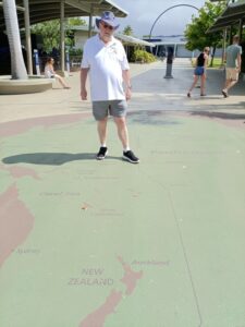
With a longitude of 158ºW, Hawaii is much closer to the International Dateline than it is to conterminous USA. With New Zealand being a mere 5º beyond the International Dateline, the longitudinal difference is therefore less than 30º, or two hours by time zone  convention elsewhere on the planet. Crossing the International Dateline not only messes with your clocks, it messes with your head, but not your body clock. Flying from New Zealand to Hawaii means living the same day twice, flying west is therefore unthinkable.
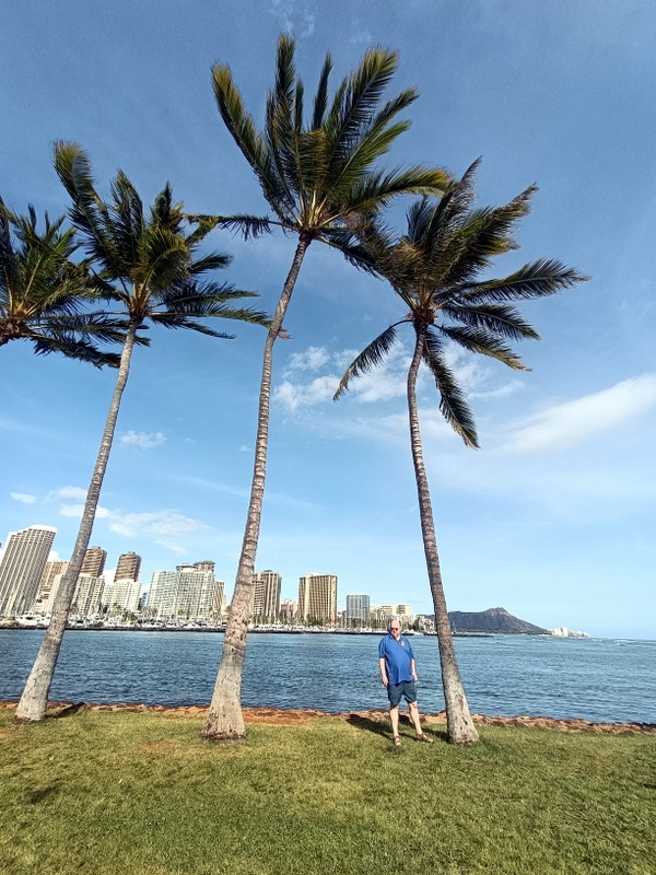
Then there’s the matter of latitude. At 21ºN, or thereabouts, Hawaii is a tropical paradise.

